Skip to main content
Collections
Editor's Picks
Trending
New
Sheffield City Archives and Local Studies Library
Sign In
Canals Prints
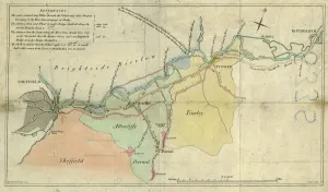
A plan of the intended canal from Sheffield to Tinsley by W. and J. Fairbank, 1815
£69.98 Framed (other products available)
Plan of Navigable Rivers and Canals connected with the Aire
£69.98 Framed (other products available)
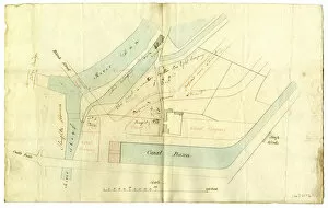
Sheffield, Canal Basin, early 19th cent
£69.98 Framed (other products available)
Plan showing the connexion of canals and navigable rivers by the proposed north-eastern Canal
£69.98 Framed (other products available)
Proposed Grand Commercial Canal - proposed route from Peak Forest Canal via Hathersage to Sheffield
£69.98 Framed (other products available)
Map of the West Riding of Yorkshire
£69.98 Framed (other products available)
Plan of the Sheffield Markets, [c. 1826]
£69.98 Framed (other products available)
Map of the South Yorkshire Coal Railway
£69.98 Framed (other products available)
Straddle Warehouse, Sheffield Canal Basin, Sheffield, 1990s
£69.98 Framed (other products available)
Firemen with the Fire Tender at the Canal Basin, 1940s
£69.98 Framed (other products available)
All products are expertly crafted, using premium materials, tailored to your specifications and promptly shipped
© Copyright Sheffield City Council - All Rights Reserved 2026
Orders fulfilled by
Media Storehouse
®




![Canals Prints: Plan of the Sheffield Markets, [c. 1826]](/t/716/plan-sheffield-markets-c-1826-14046487.jpg.webp "Prints of Corner drawings of the proposed Corn Exchange, houses fronting the new Hay Market, and the new bridge over the [River] Dun.Scale 5.5 inches : 500 feetOriginal at Sheffield City Archives: AP/10/23")