Skip to main content
Collections
Editor's Picks
Trending
New
Sheffield City Archives and Local Studies Library
Sign In
River Don Prints
River Don, between Mexborough and Doncaster, 1803
£69.98 Framed (other products available)
The Duke of Norfolks estates in Brightside Bierlow, Sheffield, [mid 19th cent]
£69.98 Framed (other products available)
Ordnance Survey map of north east Sheffield copied by the Germans
£69.98 Framed (other products available)
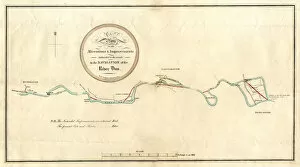
Map of alterations and improvements intended to be made in the navigation of the River Dun
£69.98 Framed (other products available)
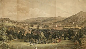
Valley of the River Don, Sheffield, 1856
£69.98 Framed (other products available)
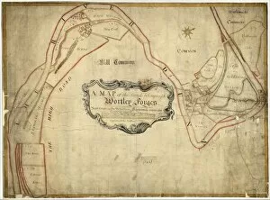
A map of the land belonging to Wortley Forges, 1746
£69.98 Framed (other products available)
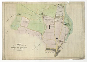
Plan of part of the townships of Sheffield and Nether Hallam, Sheffield, c. 1826
£69.98 Framed (other products available)
Plan of Sandbed Wheel held of the Earl of Surrey by the assignees of Thomas Broadbent
£69.98 Framed (other products available)
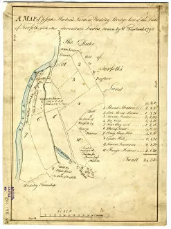
Map of Joseph Machens Farm at Wadsley Bridge, Sheffield, 1790
£69.98 Framed (other products available)
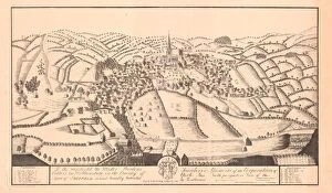
View of Sheffield, c. 1720-1740
£69.98 Framed (other products available)
River Don from Ladys Bridge, Sheffield, c. 1900
£69.98 Framed (other products available)
All products are expertly crafted, using premium materials, tailored to your specifications and promptly shipped
© Copyright Sheffield City Council - All Rights Reserved 2026
Orders fulfilled by
Media Storehouse
®

![River Don Prints: The Duke of Norfolks estates in Brightside Bierlow, Sheffield, [mid 19th cent]](/t/716/duke-norfolks-estates-brightside-bierlow-20355002.jpg.webp "Prints of From an original at Sheffield Libraries: arc03909")