
Wall Art and Photo Gifts from Sheffield City Archives
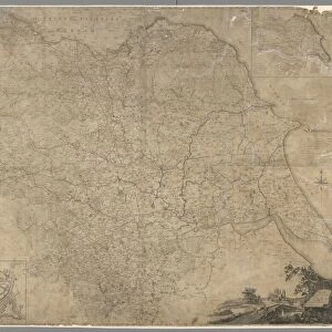
The West Riding of Yorkshire, 19th cent
Scale 10 miles 1.6 inches.
Original at Local Studies Library: y09457
Sheffield City Archives and Local Studies Library has an unrivalled collection of images of Sheffield, England
Media ID 14047657
© Sheffield City Council
Maps
Sheffield
Yorkshire
FEATURES IN THESE COLLECTIONS
> Europe
> United Kingdom
> England
> Yorkshire
> Sheffield
> Maps and Charts
> Related Images
> Sheffield City Archives
> Maps and Plans
> Maps of Yorkshire
MADE IN THE USA
Safe Shipping with 30 Day Money Back Guarantee
FREE PERSONALISATION*
We are proud to offer a range of customisation features including Personalised Captions, Color Filters and Picture Zoom Tools
SECURE PAYMENTS
We happily accept a wide range of payment options so you can pay for the things you need in the way that is most convenient for you
* Options may vary by product and licensing agreement. Zoomed Pictures can be adjusted in the Cart.
redeem
Beautiful Photo Prints and Gifts
image
Professionally Printed
inventory
Photo Prints are in stock
thumb_up
Professional quality finish
diamond
Made with high-grade materials
inventory_2
Carefully packed to aid safe arrival
Related Images
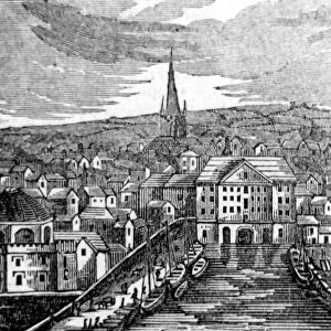
Sheffield Canal Basin, 1826
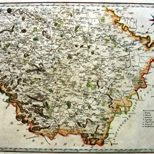
Southern part of the West Riding of Yorkshire, 1789
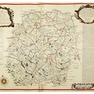
Map of the Southern Part of the West Riding of the County of York by Joseph Dickinson, 1750
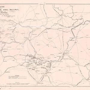
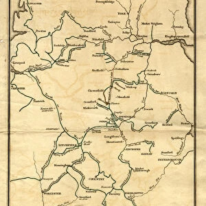
Map of the South Yorkshire Coal Railway, and of the Canals and Railways communicating with the district, 1846
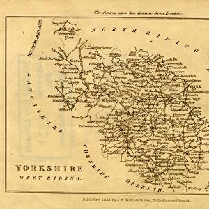
West Riding of Yorkshire, 1838
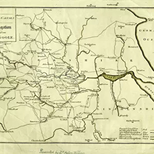
Plan of Navigable Rivers and Canals connected with the Aire and Calder Navigation; with a Proposed Canal from Knottingley to Goole, 1818
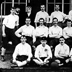
Sheffield United Football Club, 1890
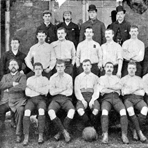
Sheffield United Football Team, 1893
Map of the County of York, by John Tuke, land surveyor, 1787
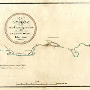
River Don, between Mexborough and Doncaster, 1803
Plan showing the connexion of canals and navigable rivers by the proposed north-eastern Canal, 19th cent
Related Collections
Maps of Yorkshire
Browse 25 Prints

Maps and Charts Related Images
Browse 13,753 Prints

Sheffield
Browse 1,201 Prints

