Home > Maps and Charts > World
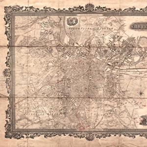
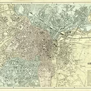
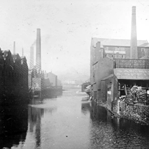
Ordnance Survey map of south Sheffield copied by the Germans, and marked with bombing targets

![]()
Wall Art and Photo Gifts from Sheffield City Archives
Ordnance Survey map of south Sheffield copied by the Germans, and marked with bombing targets
Original at Sheffield City Archives MD7731/6 and Sheffield Local Studies Librarys 26 M/3
Sheffield City Archives and Local Studies Library has an unrivalled collection of images of Sheffield, England
Media ID 14046680
© Sheffield City Council
Broomhall Centre City Edge Endcliffe Heeley Highfield Hospital Hospitals Maps Meersbrook Nether Norfolk Park Rail Railway Sheffield Stations Transport United World Bombs Raids Tracks
FEATURES IN THESE COLLECTIONS
> Europe
> United Kingdom
> England
> Norfolk
> Related Images
> Maps and Charts
> World
> Sheffield City Archives
> Maps and Plans
EDITORS COMMENTS
This print showcases an extraordinary piece of history - an Ordnance Survey map of south Sheffield, meticulously copied by the Germans during World War II. This remarkable artifact is not only marked with bombing targets but also provides a unique insight into the strategic planning and devastating air raids that took place during this tumultuous time. The map itself is a testament to the precision and attention to detail employed by both sides in their military operations. It depicts railway tracks, transport stations, and key landmarks such as Meersbrook, Heeley, City Centre, Highfield, Norfolk Park, Arbourthorne, Nether Edge, Hospital Endcliffe, Broomhall - areas that were undoubtedly significant for various reasons. As we gaze upon this historical document now preserved at Sheffield City Archives (MD7731/6) and Sheffield Local Studies Library (26 M/3), it serves as a stark reminder of the immense destruction caused by bombings during the war. The markings on the map highlight specific targets that were subjected to relentless attacks from above. It's important to acknowledge the significance of these maps without mentioning any commercial use they may have had. They stand as poignant reminders of how conflict can shape landscapes and communities forever. Let us remember those who endured these dark times while appreciating how far we've come since then.
MADE IN THE USA
Safe Shipping with 30 Day Money Back Guarantee
FREE PERSONALISATION*
We are proud to offer a range of customisation features including Personalised Captions, Color Filters and Picture Zoom Tools
SECURE PAYMENTS
We happily accept a wide range of payment options so you can pay for the things you need in the way that is most convenient for you
* Options may vary by product and licensing agreement. Zoomed Pictures can be adjusted in the Cart.
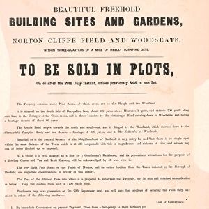
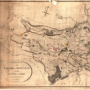
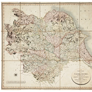
![[South] Part of the West Riding of Yorkshire, 1796](/sq/716/south-west-riding-yorkshire-1796-14047414.jpg.webp)