Home > Europe > United Kingdom > England > London > Related Images
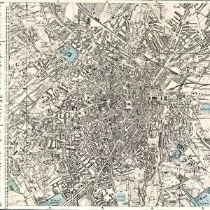
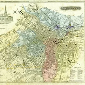
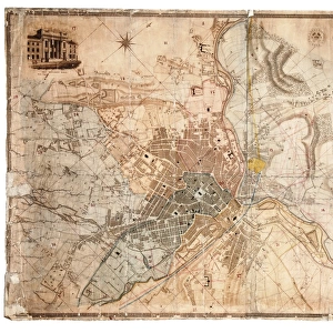
Plan of Sheffield, c. 1835

![]()
Wall Art and Photo Gifts from Sheffield City Archives
Plan of Sheffield, c. 1835
The London Printing and Publishing Company Ltd, [c. 1835].Original at Sheffield Local Studies Librarys 50 S
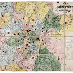
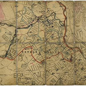
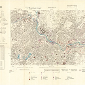
Sheffield City Archives and Local Studies Library has an unrivalled collection of images of Sheffield, England
Media ID 14086418
© Sheffield City Council
FEATURES IN THESE COLLECTIONS
> Europe
> United Kingdom
> England
> London
> Related Images
> Maps and Charts
> Related Images
> Sheffield City Archives
> Maps and Plans
EDITORS COMMENTS
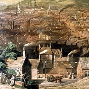
This print showcases the intricate "Plan of Sheffield" dating back to approximately 1835. The London Printing and Publishing Company Ltd is credited for this remarkable piece, which now resides in the esteemed Sheffield Local Studies Library. This historical map offers a fascinating glimpse into the city's past, capturing its urban layout during a significant period of development. The Plan of Sheffield reveals an array of meticulously detailed streets, buildings, and landmarks that once defined this bustling industrial hub. From the grandeur of imposing factories to the quaint charm of residential neighborhoods, every corner is intricately depicted on this vintage map. It serves as a testament to the city's rich heritage and provides invaluable insights into how Sheffield evolved over time. As we delve into this visual treasure trove at Sheffield City Archives, we are transported back in time to an era where horse-drawn carriages traversed cobblestone streets and smoke billowed from towering chimneys. This snapshot encapsulates not only the physical landscape but also hints at the vibrant life that thrived within these boundaries centuries ago. With its delicate lines and faded hues, this print invites us to explore every nook and cranny with curiosity and awe. It reminds us that beneath our modern surroundings lies a tapestry woven by generations before us—a reminder to cherish our history while forging ahead towards an ever-evolving future.
MADE IN THE USA
Safe Shipping with 30 Day Money Back Guarantee
FREE PERSONALISATION*
We are proud to offer a range of customisation features including Personalised Captions, Color Filters and Picture Zoom Tools
SECURE PAYMENTS
We happily accept a wide range of payment options so you can pay for the things you need in the way that is most convenient for you
* Options may vary by product and licensing agreement. Zoomed Pictures can be adjusted in the Cart.