Home > Maps and Charts > Related Images
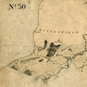
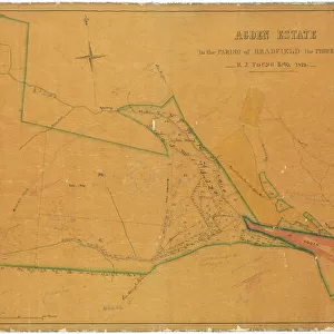
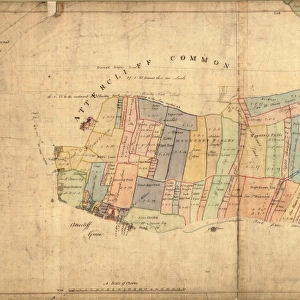
Plan of freehold land in the township of Bradfield, parish of Ecclesfield, and county of York, allotted for Sale, by Paul Bright, 1842

![]()
Wall Art and Photo Gifts from Sheffield City Archives
Plan of freehold land in the township of Bradfield, parish of Ecclesfield, and county of York, allotted for Sale, by Paul Bright, 1842
Scale 6 chains : 1 inch.Size 47 x 38 cm.Original at Local Studies E32S
Sheffield City Archives and Local Studies Library has an unrivalled collection of images of Sheffield, England
Media ID 14048027
© Sheffield City Council
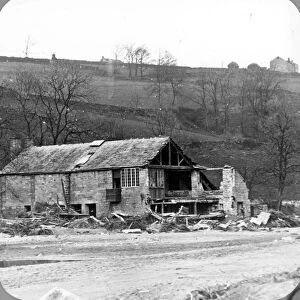
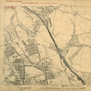
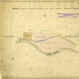
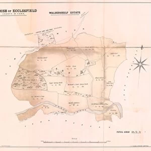
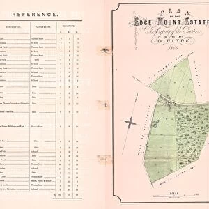
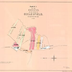
Bradfield Ecclesfield Loxley Maps
FEATURES IN THESE COLLECTIONS
> Maps and Charts
> Related Images
> Sheffield City Archives
> Maps and Plans
EDITORS COMMENTS
This print showcases a historical treasure from the Sheffield City Archives. The image depicts an intricately detailed plan of freehold land in the township of Bradfield, nestled within the picturesque parish of Ecclesfield, located in the county of York. Created by Paul Bright in 1842, this remarkable piece offers a fascinating glimpse into the past. Measuring at an impressive size of 47 x 38 cm, this print is sure to captivate any viewer with its wealth of information and meticulous craftsmanship. The scale used for this plan is six chains to one inch, allowing for precise measurements and accurate representation of the area's layout. The significance of this document lies not only in its cartographic value but also in its potential historical insights. It provides valuable information about land allocation during that time period and sheds light on how communities were structured and organized. Stored within Sheffield's Local Studies collection under reference E32S, this original artifact holds immense cultural importance for those interested in studying ecclesfield history or exploring maps related to bradfield and loxley areas
MADE IN THE USA
Safe Shipping with 30 Day Money Back Guarantee
FREE PERSONALISATION*
We are proud to offer a range of customisation features including Personalised Captions, Color Filters and Picture Zoom Tools
SECURE PAYMENTS
We happily accept a wide range of payment options so you can pay for the things you need in the way that is most convenient for you
* Options may vary by product and licensing agreement. Zoomed Pictures can be adjusted in the Cart.