Skip to main content
0
Collections
Editor's Picks
Trending
New
Sheffield City Archives and Local Studies Library
Sign In
Rotherham Prints
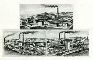
Collieries at Treeton, Fence and Orgreave near Rotherham
From £69.98
Site of Sheffield Castle as shown on Ordnance Survey map, 1890
From £69.98
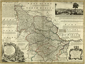
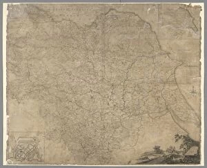
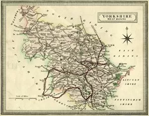
County Map of Yorkshire West Riding, c. 1777
From £69.98
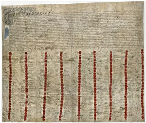
Ecclesfield nailmakers agreement, 1733
From £69.98
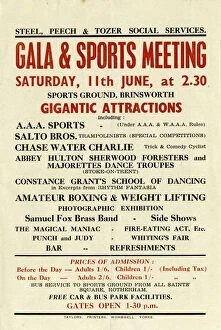
Steel Peech and Tozer Social Services
From £69.98
Plan of the Dalton Parva Estate in the parish of Rotherham and county of York
From £69.98
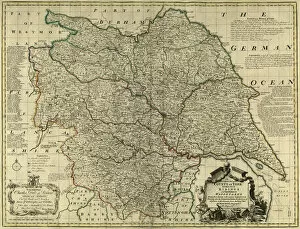
County Map of Yorkshire, c. 1777
From £69.98
Map of the County of York, by John Tuke, land surveyor, 1787
From £69.98
Sale particulars for property at Treeton, Bolehill, Catcliffe and Sheffield, 1851
From £69.98
Valuable freehold land and minerals at Brightside to be sold by auction, 1852
From £69.98
Plan of the Wincobank Estate, the property of J
From £69.98
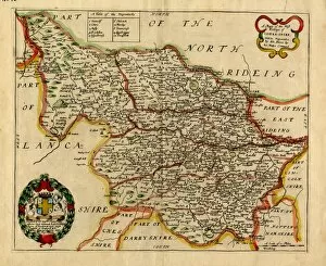
Map of the West Riding of Yorkshire, Richard Blome, 1673
From £69.98
Ordnance Survey map of east end of Sheffield (and Rotherham) copied by the Germans
From £69.98
Ordnance Survey map of Rotherham copied by the Germans, and marked with bombing targets
From £69.98
Exchange Street and corner of Castle Folds Lane
From £69.98
Valuable freehold land and minerals at Brightside to be sold by auction, 1852
From £69.98
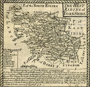
The West Riding of Yorkshire, 18th cent
From £69.98
The West Riding of Yorkshire, 19th cent
From £69.98
Printed to Order and Licensed for Personal Use
© Copyright Sheffield City Council - All Rights Reserved 2026
Orders fulfilled by
Media Storehouse
®