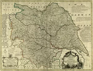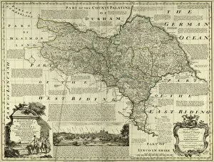
Bowen's County Maps, C. 1777 Prints
Maps from The Large English Atlas: or, a new set of map of all the counties of England and Wales drawn from the several surveys which have bene hitherto been published. With three general maps of England, Scotland and Ireland, from the latest and best authorities, by Emanuel Bowen, Thomas Kitchin and others. London, printed and sold by T. Bowles, [c.1777]
43 Items