
Home > Maps and Charts > Related Images
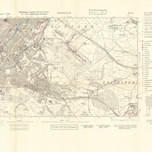
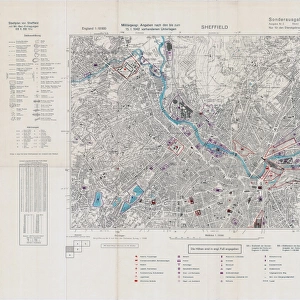
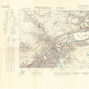
Plan of lands at Grimesthorpe by The Sheffield Gas Company, 1928

![]()
Wall Art and Photo Gifts from Sheffield City Archives
Plan of lands at Grimesthorpe by The Sheffield Gas Company, 1928
Original at Local Studies S21S
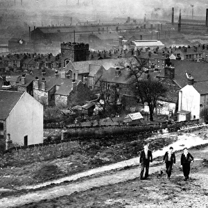
Sheffield City Archives and Local Studies Library has an unrivalled collection of images of Sheffield, England
Media ID 14048466
© Sheffield City Council
Anglican Attercliffe Bridge Bridges Brightside Brown Canals Cemeteries Cemetery Church Churches Company Cyclops Grimesthorpe Industry Lane Maps River Rivers Sheffield Steel Viaducts Works Abyssinia Bartholomew Newhall
FEATURES IN THESE COLLECTIONS
> Maps and Charts
> Related Images
> Sheffield City Archives
> Maps and Plans
MADE IN THE USA
Safe Shipping with 30 Day Money Back Guarantee
FREE PERSONALISATION*
We are proud to offer a range of customisation features including Personalised Captions, Color Filters and Picture Zoom Tools
SECURE PAYMENTS
We happily accept a wide range of payment options so you can pay for the things you need in the way that is most convenient for you
* Options may vary by product and licensing agreement. Zoomed Pictures can be adjusted in the Cart.
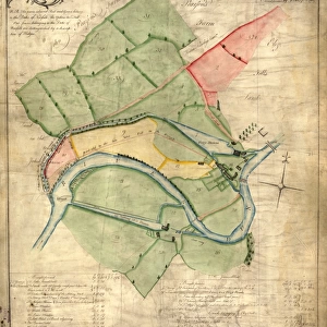
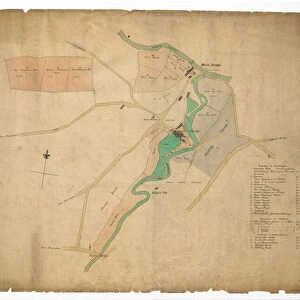
![The Duke of Norfolks estates in Brightside Bierlow, Sheffield, [mid 19th cent]](/sq/716/duke-norfolks-estates-brightside-bierlow-20355002.jpg.webp)

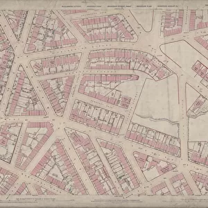
![A map of Wm. Carrs Farm at Stanington [Stannington], 1747](/sq/716/map-wm-carrs-farm-stanington-stannington-1747-19192400.jpg.webp)
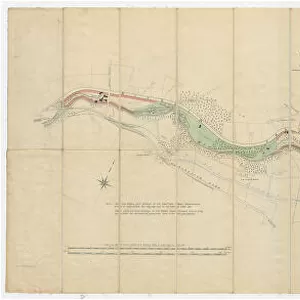
![A map of the lands near Attercliffe and Darnall, [?1820s]](/sq/716/map-lands-near-attercliffe-darnall-1820s-18396317.jpg.webp)