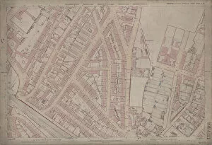
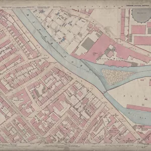
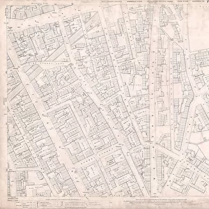
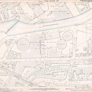
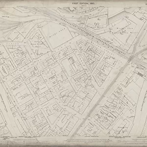
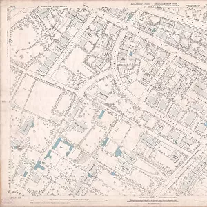
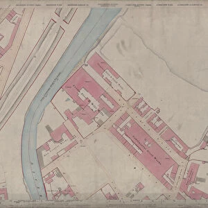
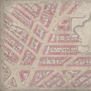
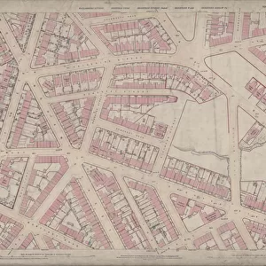
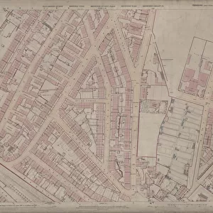
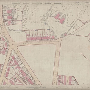
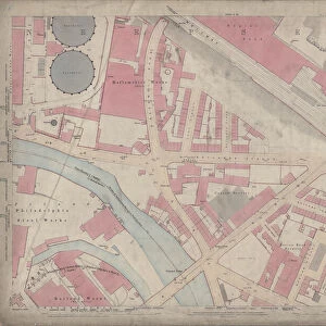
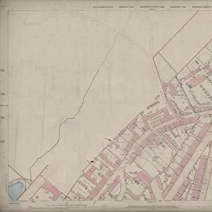
Ordnance Survey Map, Sheffield, Hoyle Street / Infirmary Road area, 1889 (Yorkshire sheet 294. 7. 10)




Framed Prints
This artwork is available as
Framed Print of Ordnance Survey Map, Sheffield, Hoyle Street / Infirmary Road area, 1889 (Yorkshire sheet 294. 7. 10)
This map features
Top left: Watery Street, Henry Street, St. Phillips Road, Malinda Street, Sudbury Street, [Abram Brooksbank and Co.], Malinda Works, Malinda Street, steel and files; Progress Works, Sudbury Street, files and cutlery; [George Fisher and Co.], Hoyle Street Works; Hoyle Street, Infirmary Road, Shales Moor, Tramway, [St. Philips National] School (Boys and Girls), Hoyle Street; St. Philips Terrace, St. Philips Lane, [Richard Groves and Sons Limited], Bee Hive Works, steel, saws, files, etc; [Edwin Nall], Excelsior Works, steels and ferrules; Lister Lane, New Meadow Street, Penistone Road, Watery Street Methodist Chapel (Wesleyan Reform); Denison Arms Public House, [Henry Bramall and Sons], Henry Street Works, cutlery; Wellington Inn, Smithy, Carriage Works, Talbot Inn, Don House, Somerset House, Titanic Steel Works, Malinda Street; [William Spencer and Son], Kingston Steel Works, Malinda Street; [Henry Bramall and Sons], Birtin Works, Henry Street, steel and files; Mona Terrace, [Charles Gray and Sons], St. Philips Works, Watery Street, steel.
Top right: Infirmary Road, Hoyle Street, Penistone Road, Infirmary Road, Shales Moor, Tramway, Matthew Street, New Inn, Gardeners Rest Public House, Dun Street, Green Lane, Dun Fields, Acorn Street, South Parade, Ebenezer Place, Ebenezer Street, Ward Street, Acorn Street, Foundry Ship Inn, Peacock Inn, Shalesmoor Foundry, [Andrew Badger and Sons], Long Croft Works, Long Croft, iron; Ebenezer Chapel, Wesleyan Methodist, South Parade; Sunday School, [Barker and England], Albion Cutlery Works, Green Lane; Cornish StreetEbenezer School (Boys and Girls), Ebenezer Street / South Parade; [Henry Hoole and co.], Green Lane Works, stove grates.
Bottom left: Malinda Street, Sudbury Street, Hoyle Street, New Meadow Street, Netherthorpe Street, Bonville Street, Burnt Tree Lane, Dover Street, Morpeth Street, St. Anns Church, Netherthorpe House, Sheffield Arms Public House, Smithy, Burnt Tree Tavern, Meadow Street Hotel Public House, Ellis Street, Doncaster Street, Matthew Street, [Daniel Doncaster and Sons Ltd], Steel Works, Doncaster Street.
Bottom right: [Southern and Richardson Ltd], Don Cutlery Works, Ellis Street; Doncaster Street, Shales Moor, Ebenezer Street, Ward Street, [Philip Ashberry and Sons], Ashberrys Metal Works, South Parade / Bowling Greet Street; Moor Fields, [Southern and Richardson Ltd], Don Cutlery Works, Doncaster Street; Shepherd Street, Charlotte Square, Allen Street, Smithfield Cross, Smithfield Trinity Street, Snow Lane, Bowling Green Street, Blue Boy Street, Queens Row, Gibraltar Street, Allen Street, Allen Street Pearl Works, Original Blue Boy Public House, Crown Inn, [Barker and England Limited], Havelock Works, Moorfields, machine knives; [possibly Joseph Laycock, wheelwright and coach builder], Wagon Works, [2-18], Allen Street; Sunday School, Miltons Head Public House, Old Club Mill Public House, Elliott Steel Works, [Moorfields]; Old Hare and Hounds Public House, Post Office.
Dimensions of original: 77 x 102 cm.
Scale 10.56 feet : 1 mile [1:500].
From an original at Sheffield Libraries: q00054 (sheet No. 294.7.10). Sheffield City Archives and Local Studies Library has an unrivalled collection of images of Sheffield, England. © Sheffield City Council - All Rights Reserved
Your chosen combination is quickly and professionally made to order - Shipping & Delivery Details
If you are not entirely happy with your items, simply return them to us within 30 days for a replacement or full refund - 30 Day Returns
Media ID 25801075
Old Map Ordnance Survey Os Map Sheffield
Modern 14"x12" (36x31cm)
Ready to Hang Contemporary Framed Prints adds style, protection, and a polished touch to your space - effortlessly.
Your artwork will be printed as shown in the preview. To adjust please select Print Options under the Buy button
Wood effect frame, card mounted, 10x8 fade resistant photo print. Overall outside dimensions 14x12 inches (36x31cm). Environmentally and ozone friendly, 40mm wide x 15mm Polycore® moulding has the look of real wood, is durable and light and easy to hang. Biodegradable and made with non-chlorinated gases (no toxic fumes) it is efficient; producing 100 tons of polystyrene can save 300 tons of trees! Prints are glazed with lightweight, shatterproof, optical clarity acrylic (providing the same general protection from the environment as glass). The back is stapled hardboard with a sawtooth hanger attached. Note: measurements provided are estimated outer dimensions, which include both the image and the frame. While we aim to keep sizing consistent, exact dimensions may vary slightly due to differences in print size or production requirements, which may result in a variation in the overall size (up to approximately 2.5cm (1"))
These are individually made so all sizes are approximate
Estimated Image Size (if not cropped) is 24.4cm x 17.2cm (9.6" x 6.8")
Estimated Product Size is 36cm x 31cm (14.2" x 12.2")
Features in These Collections
Home > Maps and Plans > Sheffield OS Maps